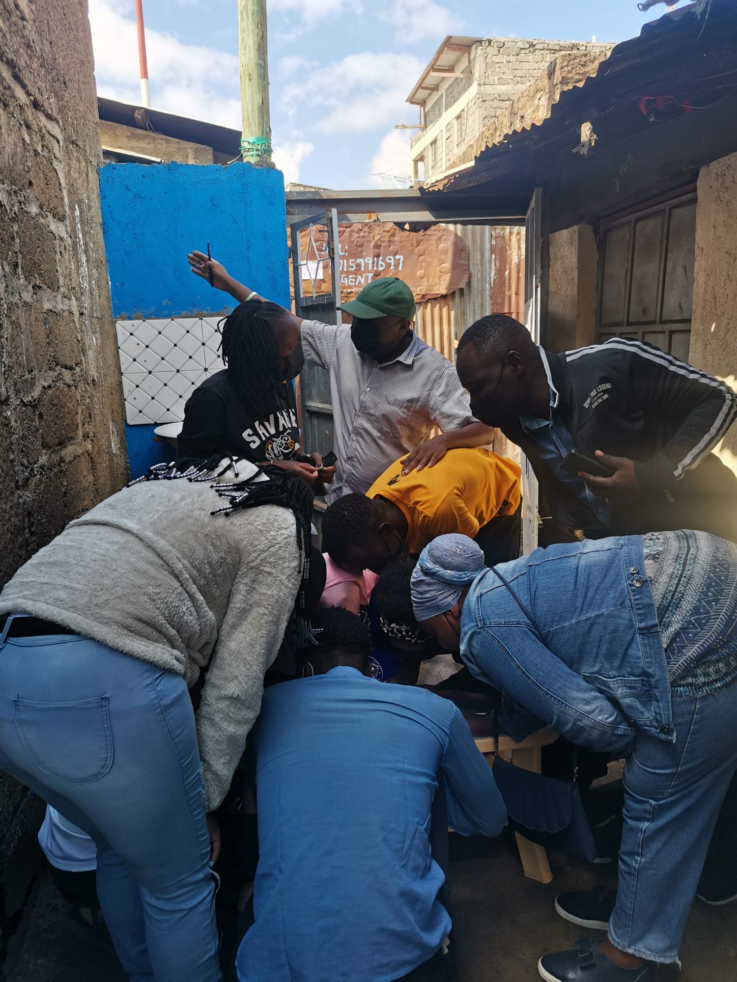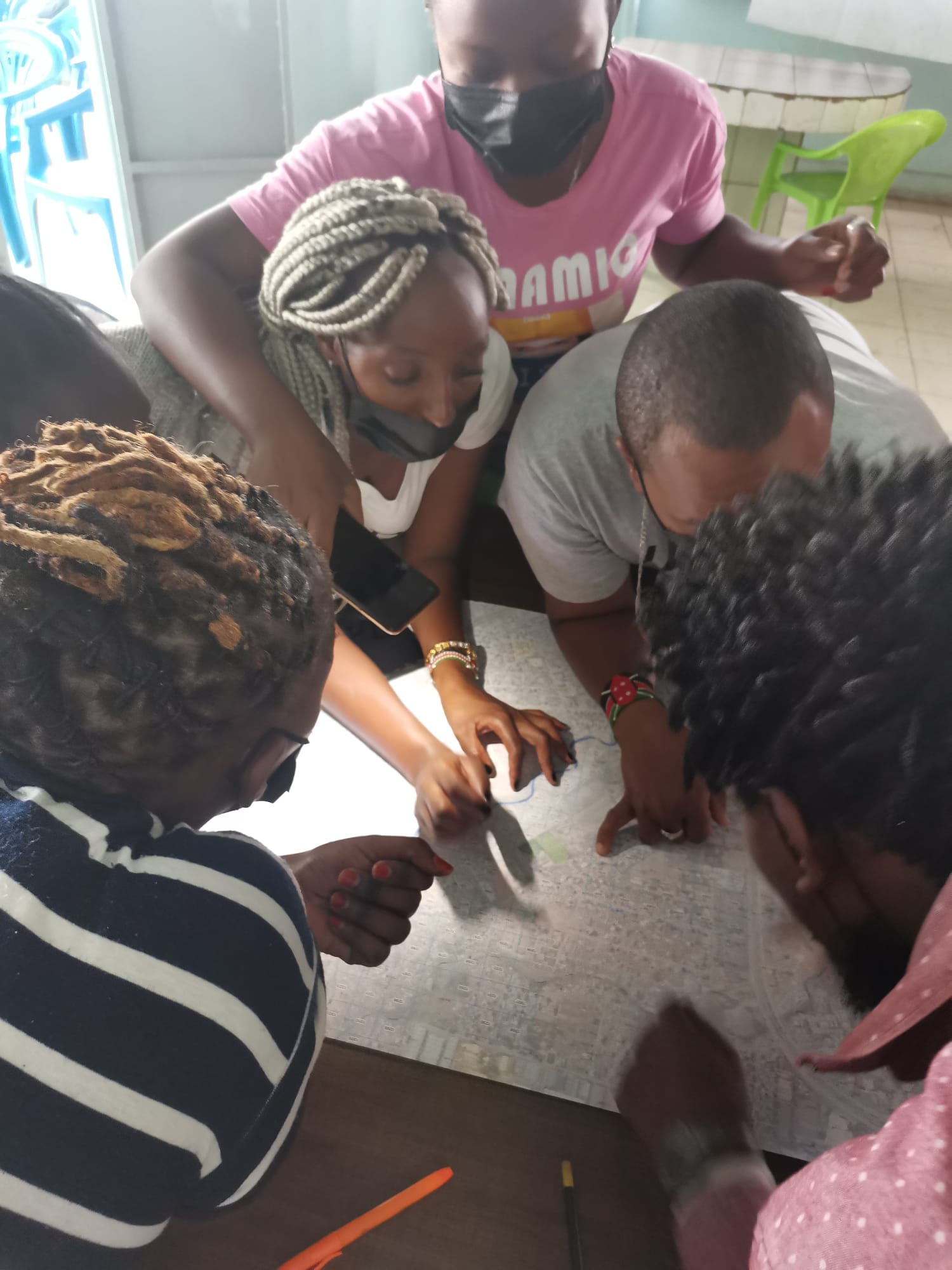
PARTIMAP is a citizen science project that explores how satellite imagery, artificial intelligence, and community perceptions can work together to support more inclusive urban development in deprived areas. It addresses a critical gap in how cities understand the living conditions of millions of people in informal settlements and marginalised neighbourhoods. While AI-based Earth Observation is increasingly used to detect and map these areas, the key challenge is not simply locating them but understanding their quality and the lived experiences of residents. Too often, deprived areas are framed as problem spaces, overlooking internal diversity, existing assets, and the everyday realities that matter most to communities. PARTIMAP creates a dialogue between different ways of seeing the city: the distant view of satellites, the algorithmic vision of AI models, and the grounded perceptions of people who live there.
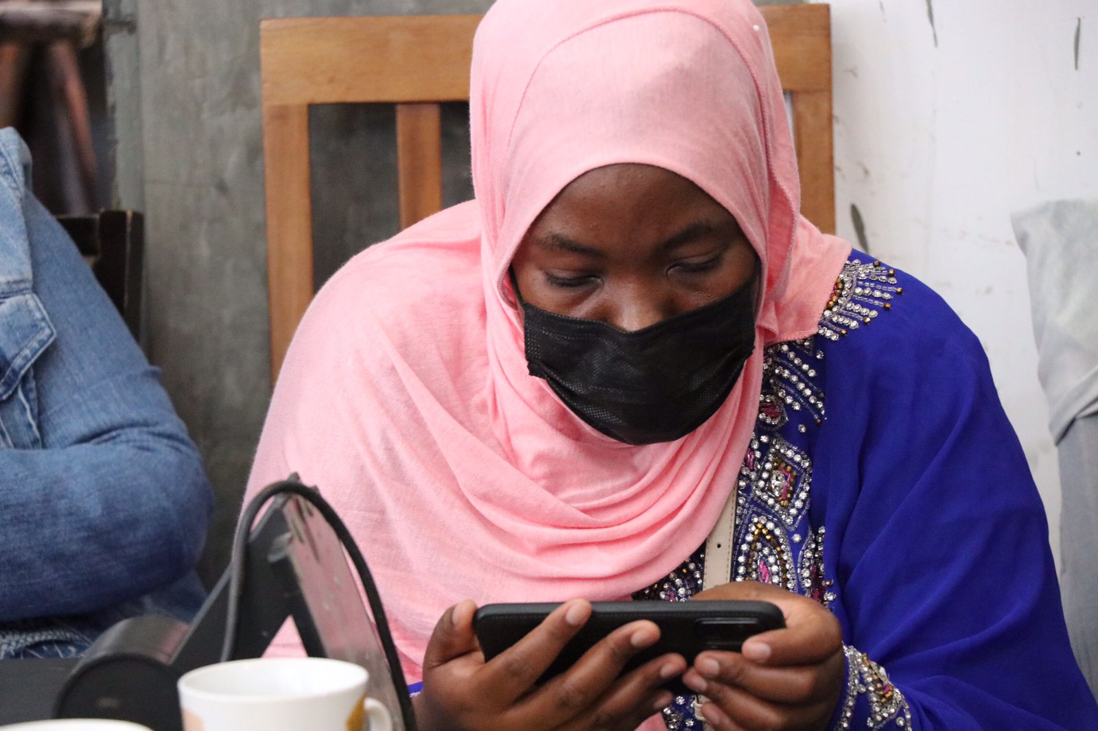
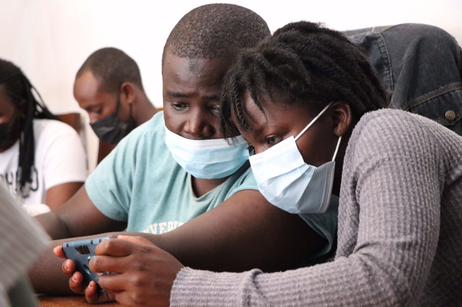
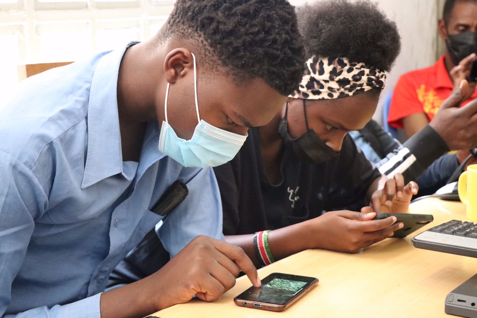
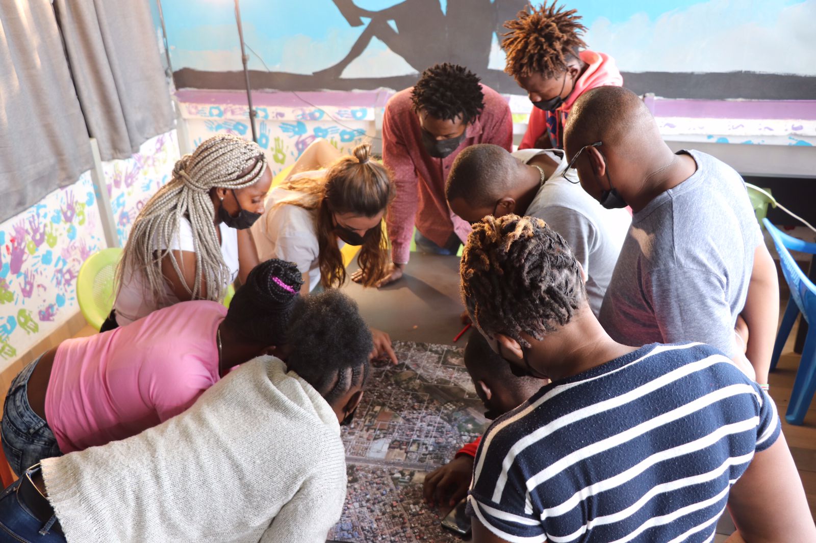
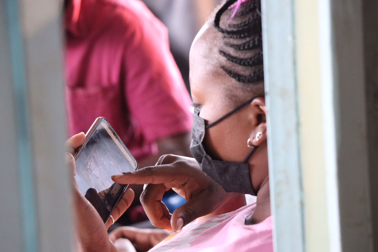
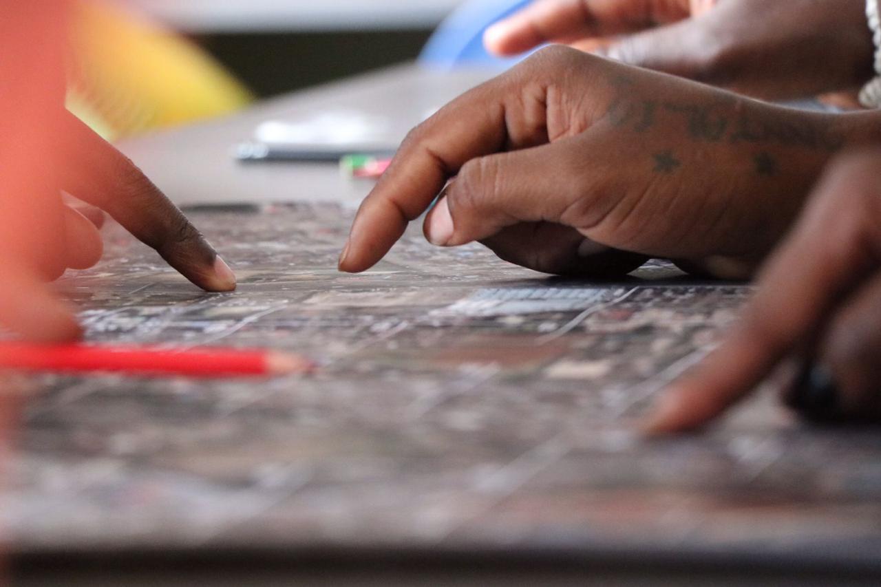
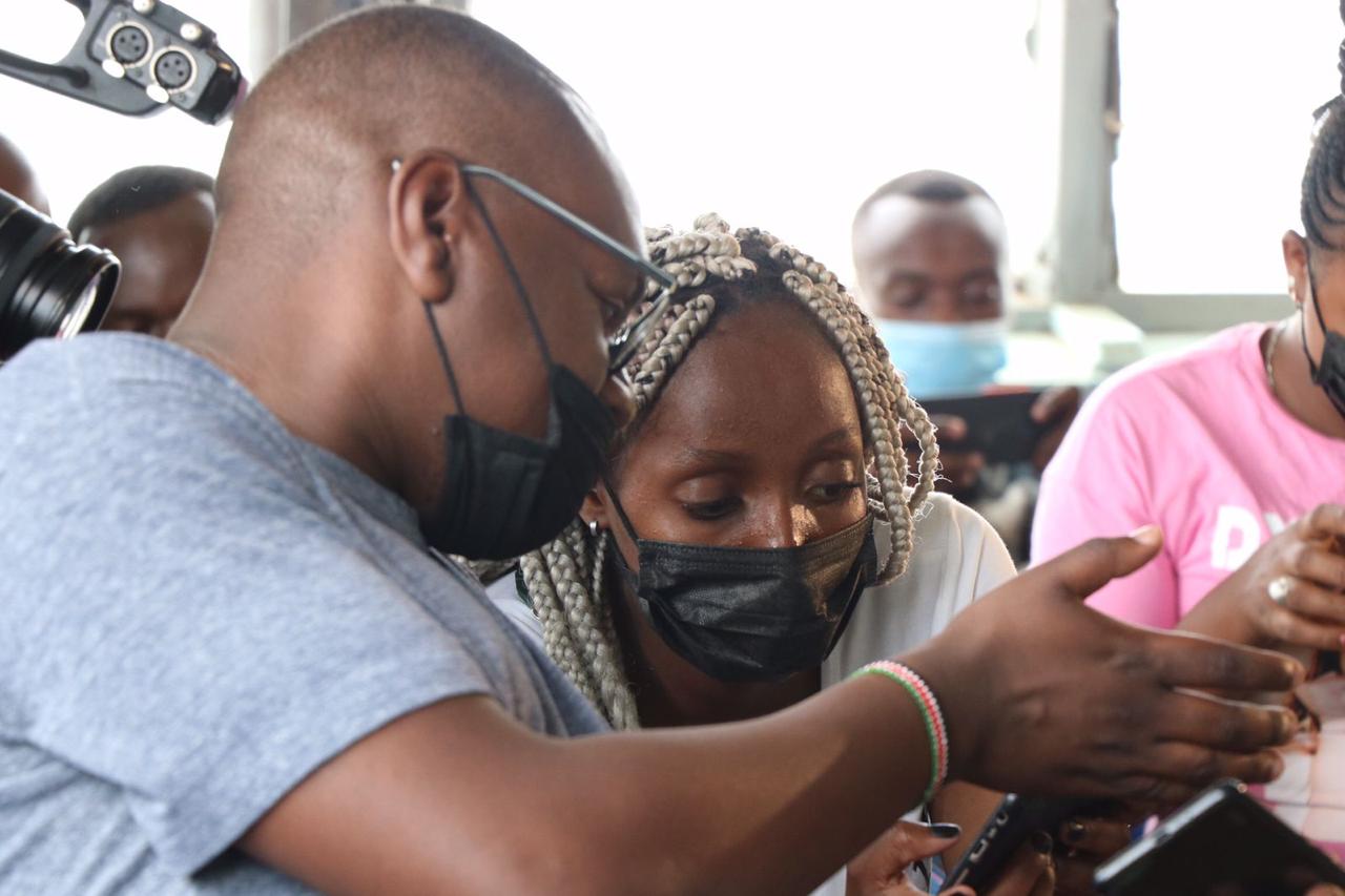
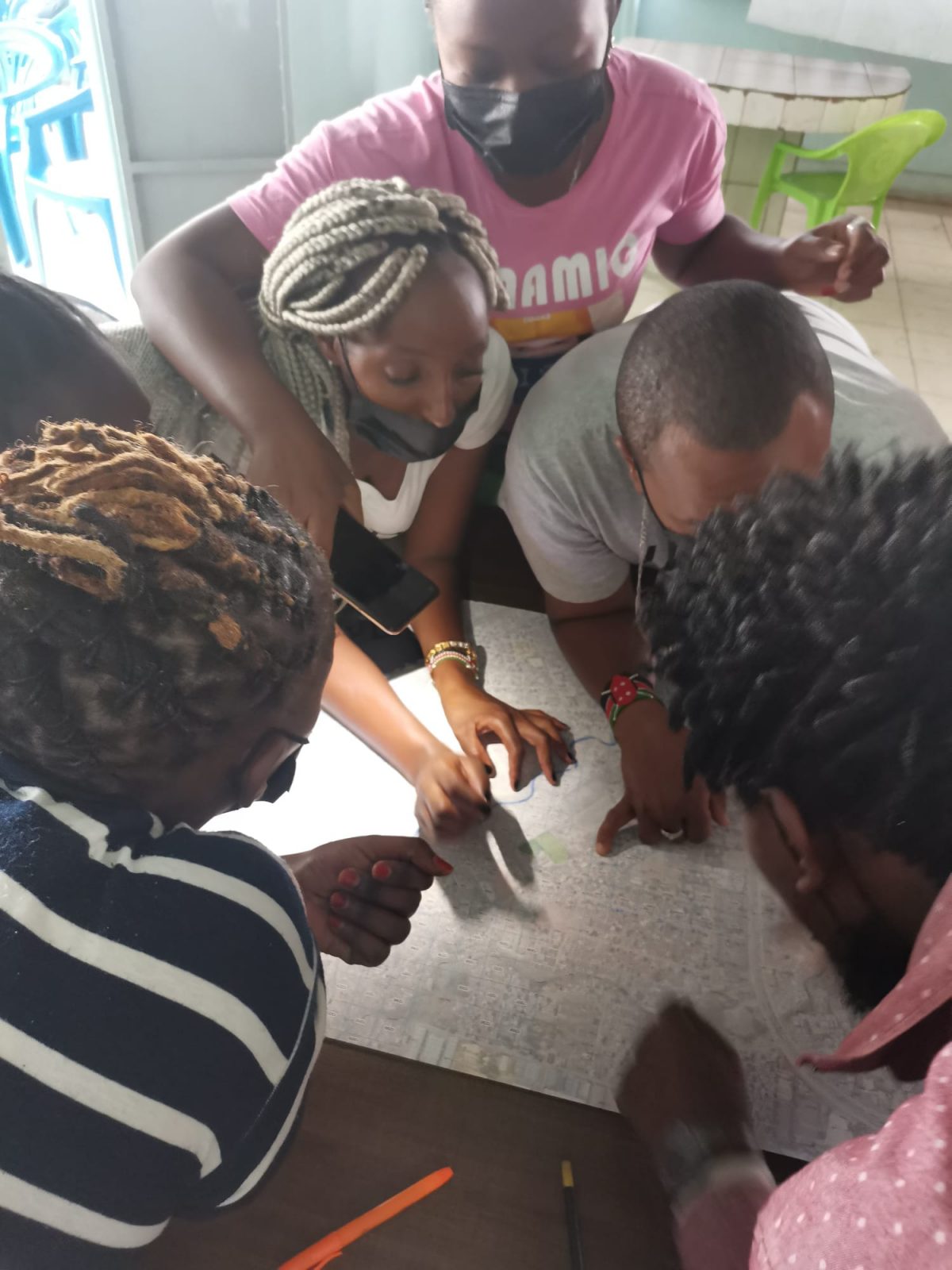
The project’s methodology centres on co-producing knowledge with local communities. Through a mobile web app designed for low-connectivity environments, residents compare pairs of satellite images and vote based on their perceptions of neighbourhood quality. These community-generated votes become training data for deep learning models that learn to predict a liveability perception index directly from Copernicus Sentinel imagery. More than a million votes from over 500 participants across cities in the Global South have been used to train models that translate local knowledge into actionable datasets for large-scale urban analysis. This approach ensures that AI learns from what residents collectively value in their environments, capturing socially meaningful dimensions of liveability that standard detection methods often miss. Beyond improving AI models, the process strengthens community cohesion, digital literacy, and data awareness, transforming residents from passive data subjects into active co-creators of urban knowledge.
PARTIMAP has been implemented across Kenya, Ghana, Mozambique, and India, demonstrating the scalability and adaptability of its community-driven AI approach.
The project is led by a research consortium from Université Libre de Bruxelles, the University of Twente, and the Public University of Navarra, with trescientosmil contributing expertise in urban innovation, digital tool development, and applied territorial analysis. Funded initially by BELSPO and now advancing through the NWO-funded SPACE4ALL project, PARTIMAP continues to expand its methodology across new urban contexts, promoting data sovereignty, collective intelligence, and context-sensitive urban planning that centres the voices of those most affected by policy decisions.
Images