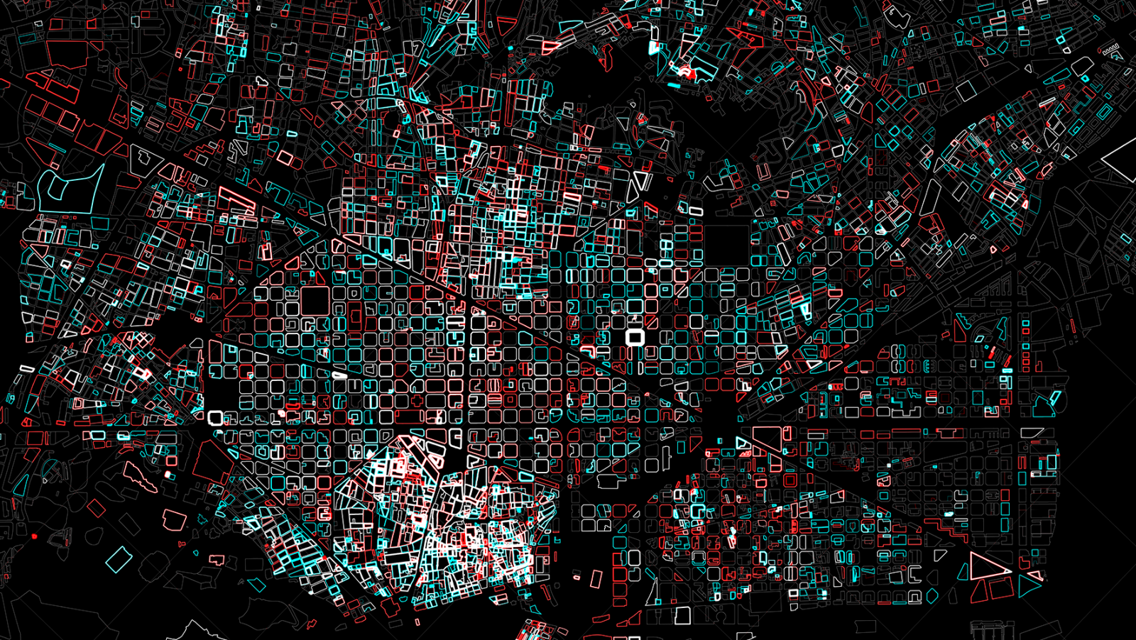
In this project, we developed new methods to characterize the urban night, which is understood as an intangible landscape the must be mapped and designed beyond morphological and functional aspects. Based on an exploration of behavior, we drew citizen interactions (actions, activities, emotions) to better plan the city at night in terms of energy consumption, safety, visual image and social identity.
The project was the first of its kind in Spain in terms of big data analysis and visualization applied to the urban setting. Thanks to georeferenced social network data (Twitter, Instagram, Google Local and Flickr) and open data sources, we were able to visualize how urban activity fluctuates throughout the day and night on different interactive maps.
We were also able to measure it and compare it with other cities and periods. It is crucial that we continue with this line of research. Accessible map data is an invaluable tool for increasing our knowledge and citizen empowerment since it allows people to make collective decisions about a shared landscape that belongs to us as a whole.
