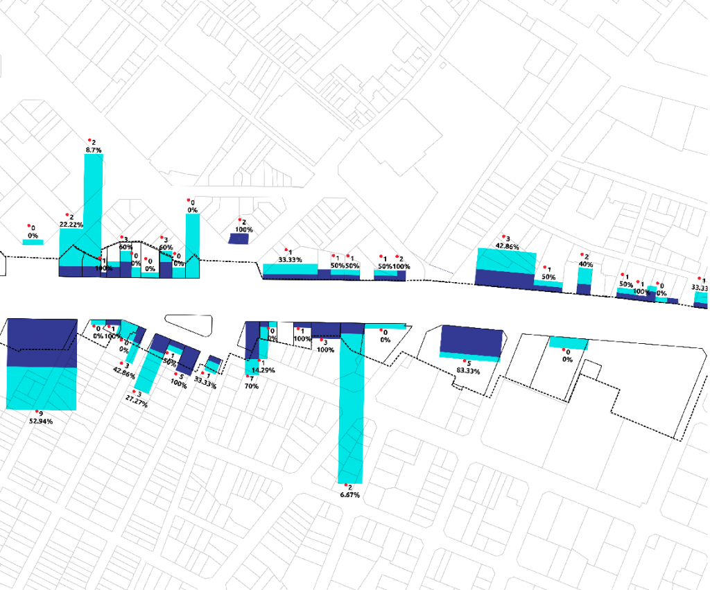
This atlas aims to serve as a data source for preparing the land use plan for Avinguda del Paral·lel. It describes socio-demographic and economic characteristics, as well as other aspects of the businesses subject to regulation (public traffic, food trade and tourist services) in order to rethink its status as a symbolic axis both for adjacent neighborhoods and the city.
Images
Promoters

Ajuntament de Barcelona
