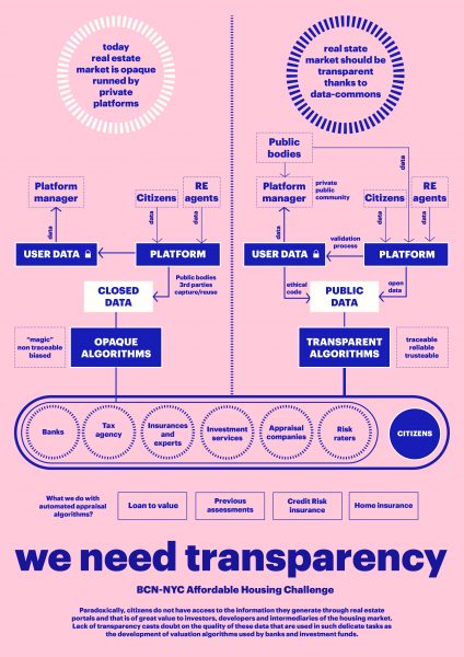
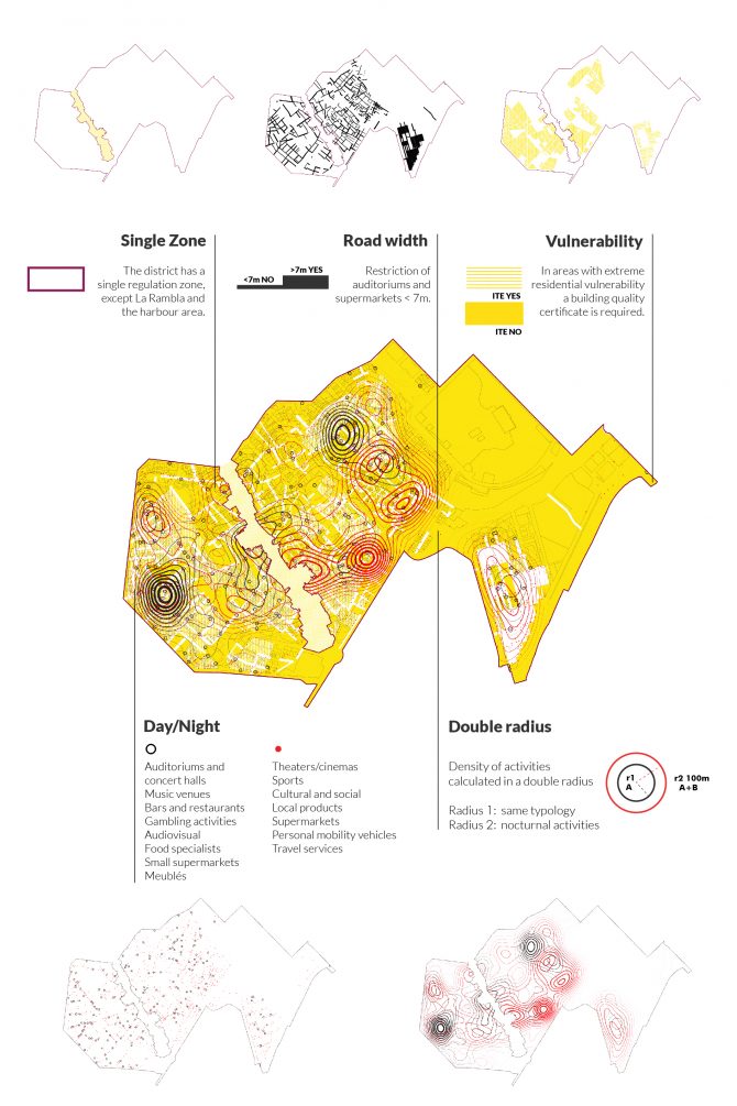
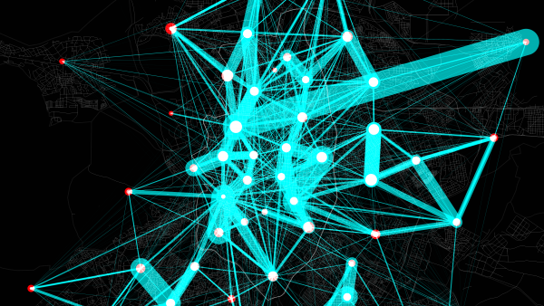
A key role is played by the advances of recent decades in big data processing techniques based on data mining and artificial intelligence, which are gradually being introduced into the field of urban planning to make it possible to uncover the correlations between multiple variables and establish predictions.
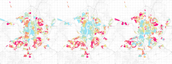
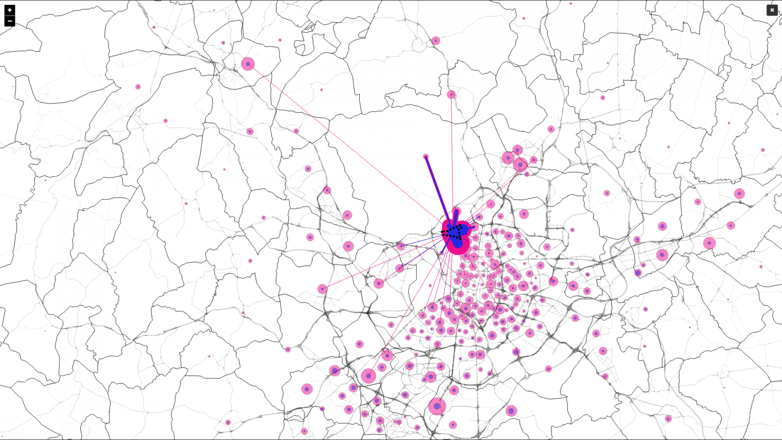
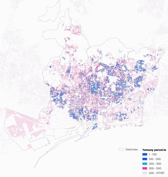
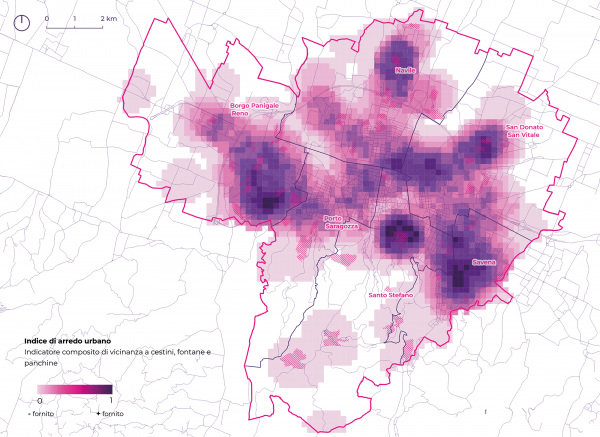
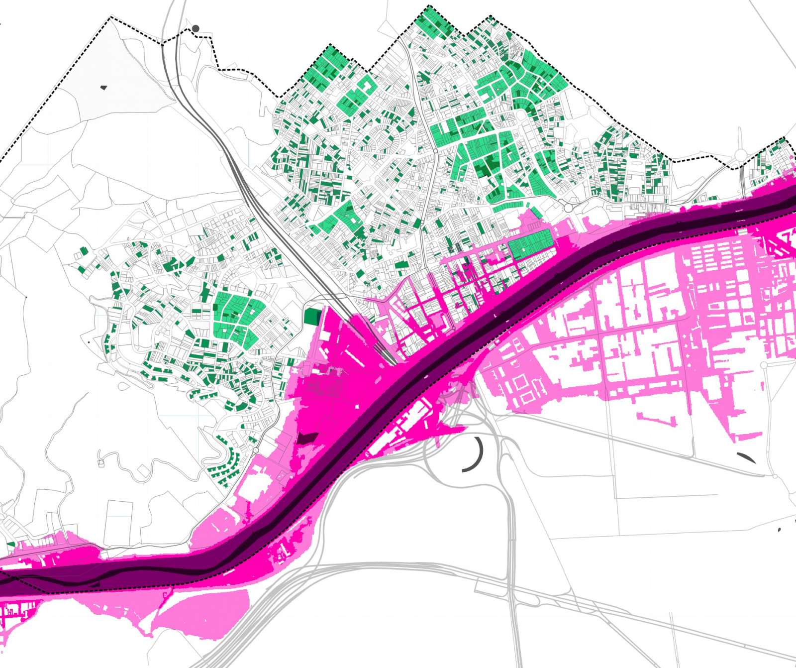
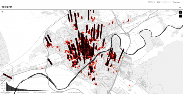
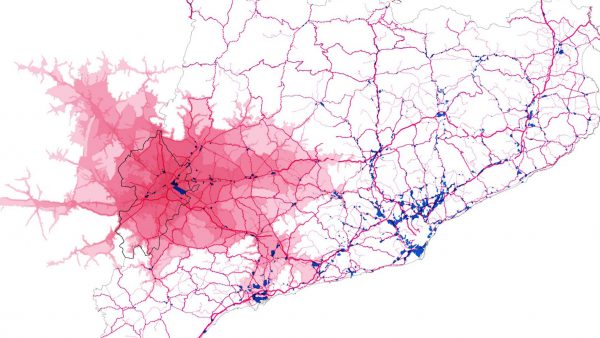
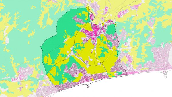
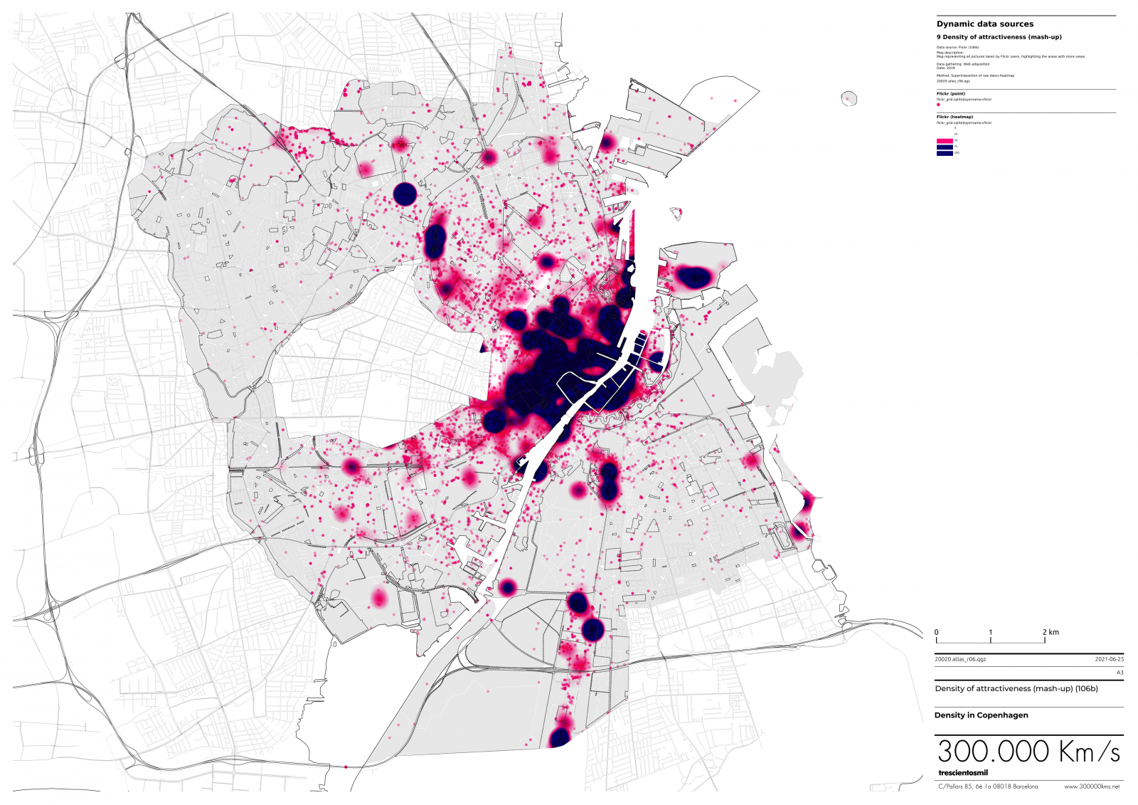
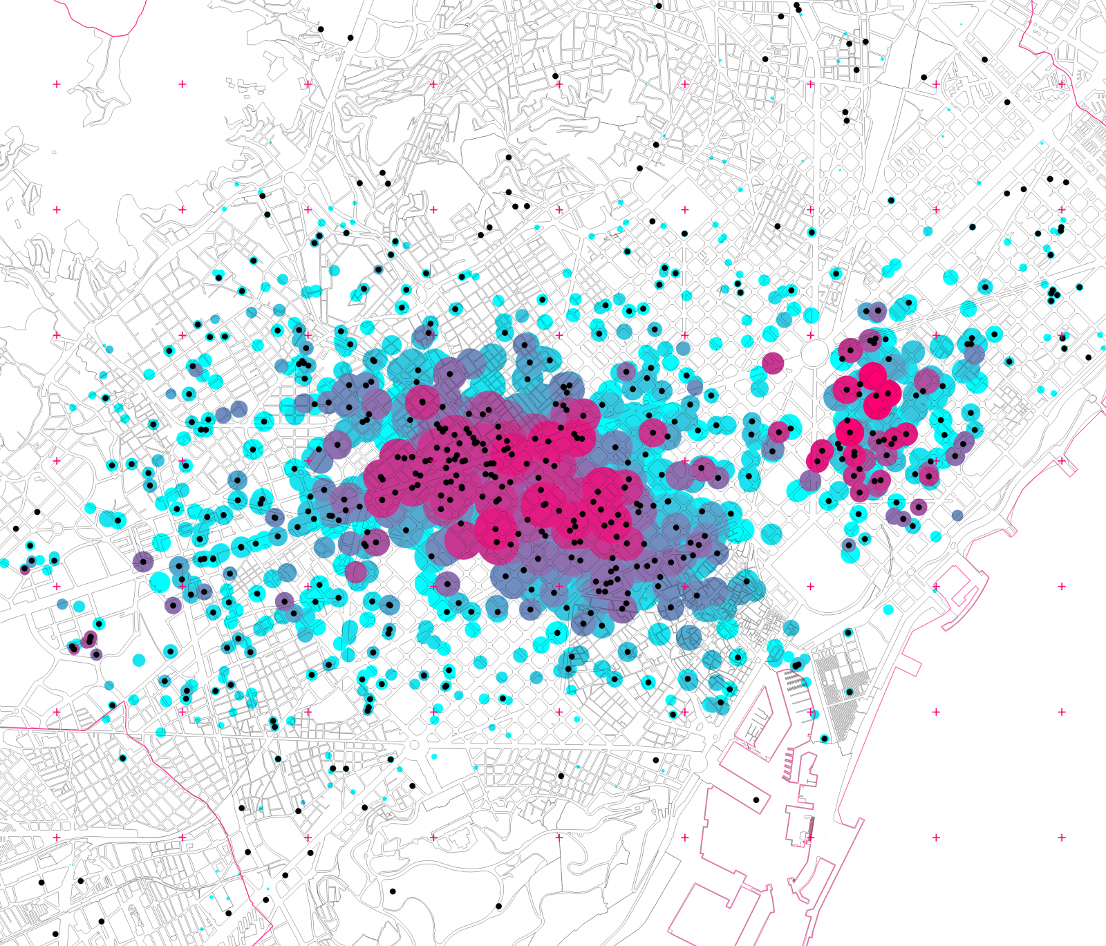
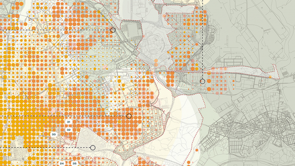
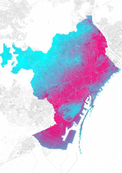
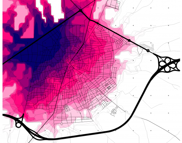
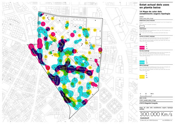
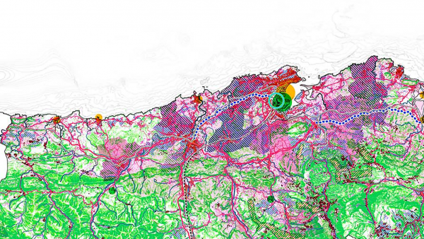
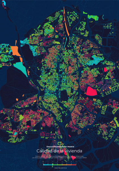
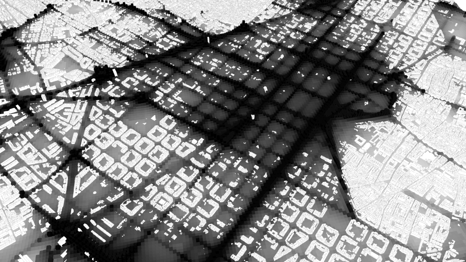
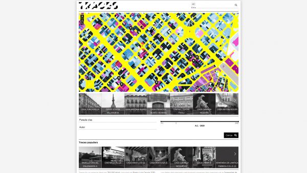
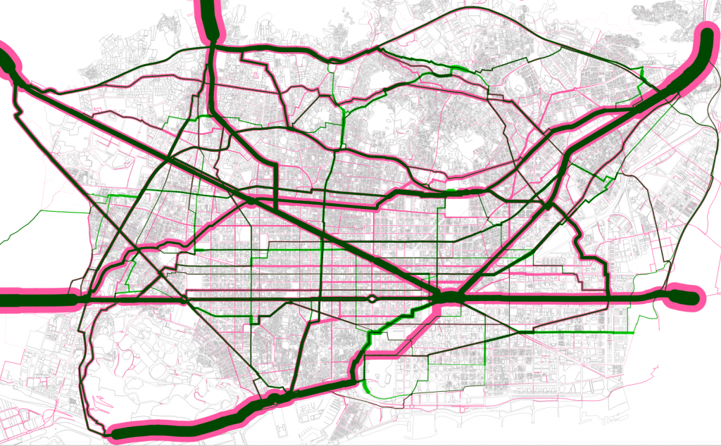
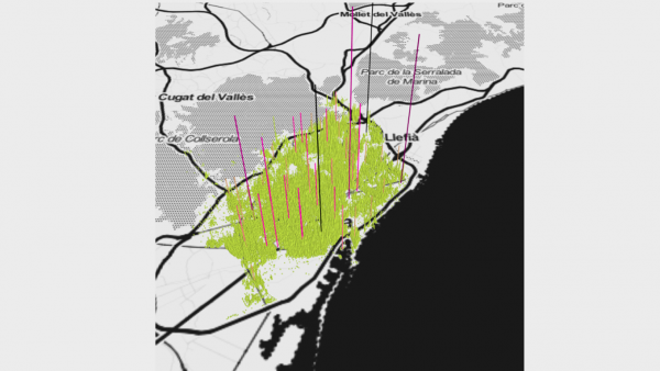
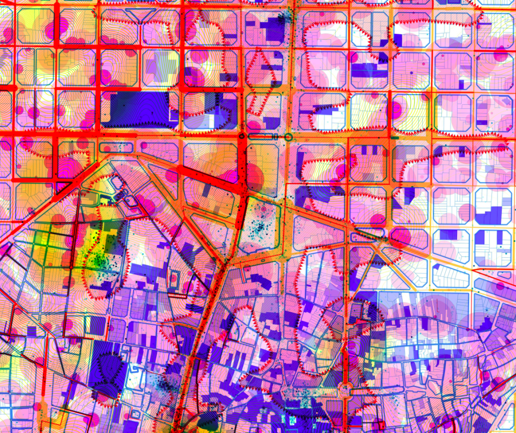
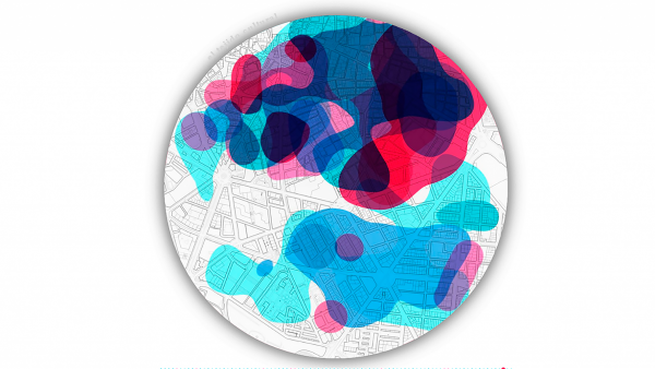
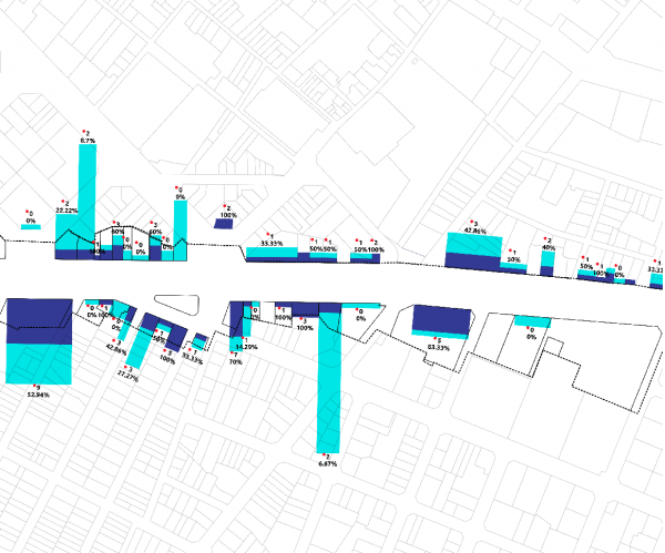
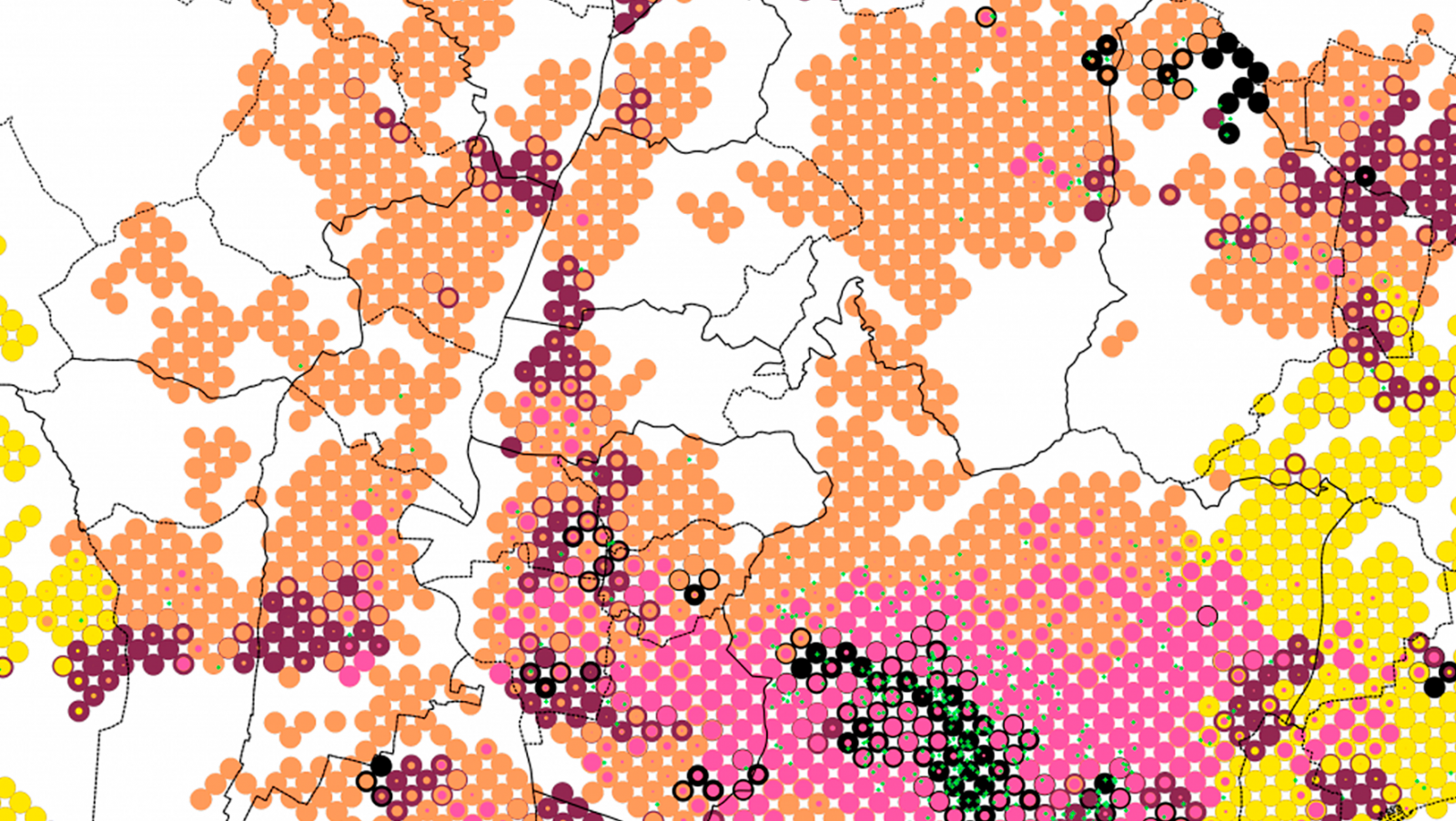
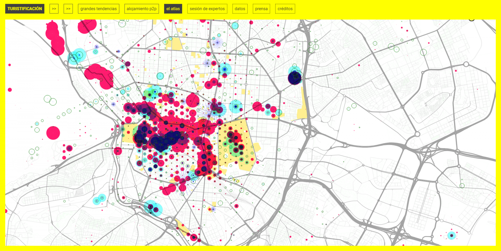
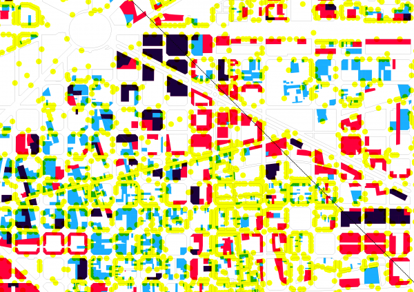
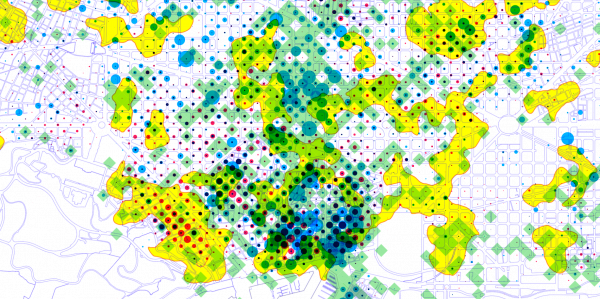
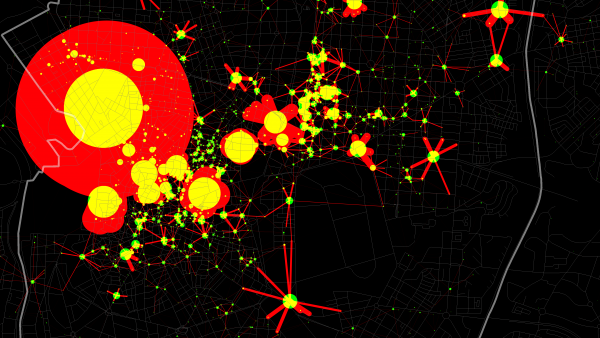
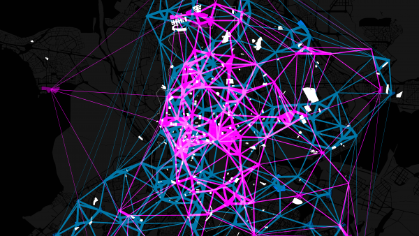
We analyse the spatial component of information. We translate delocalised data into coordinates to decode spatial relations. We understand that behind the digital world there is a material world that supports it.
We analyse the spatial component of information. We translate delocalised data into coordinates to decode spatial relations. We understand that behind the digital world there is a material world that supports it.