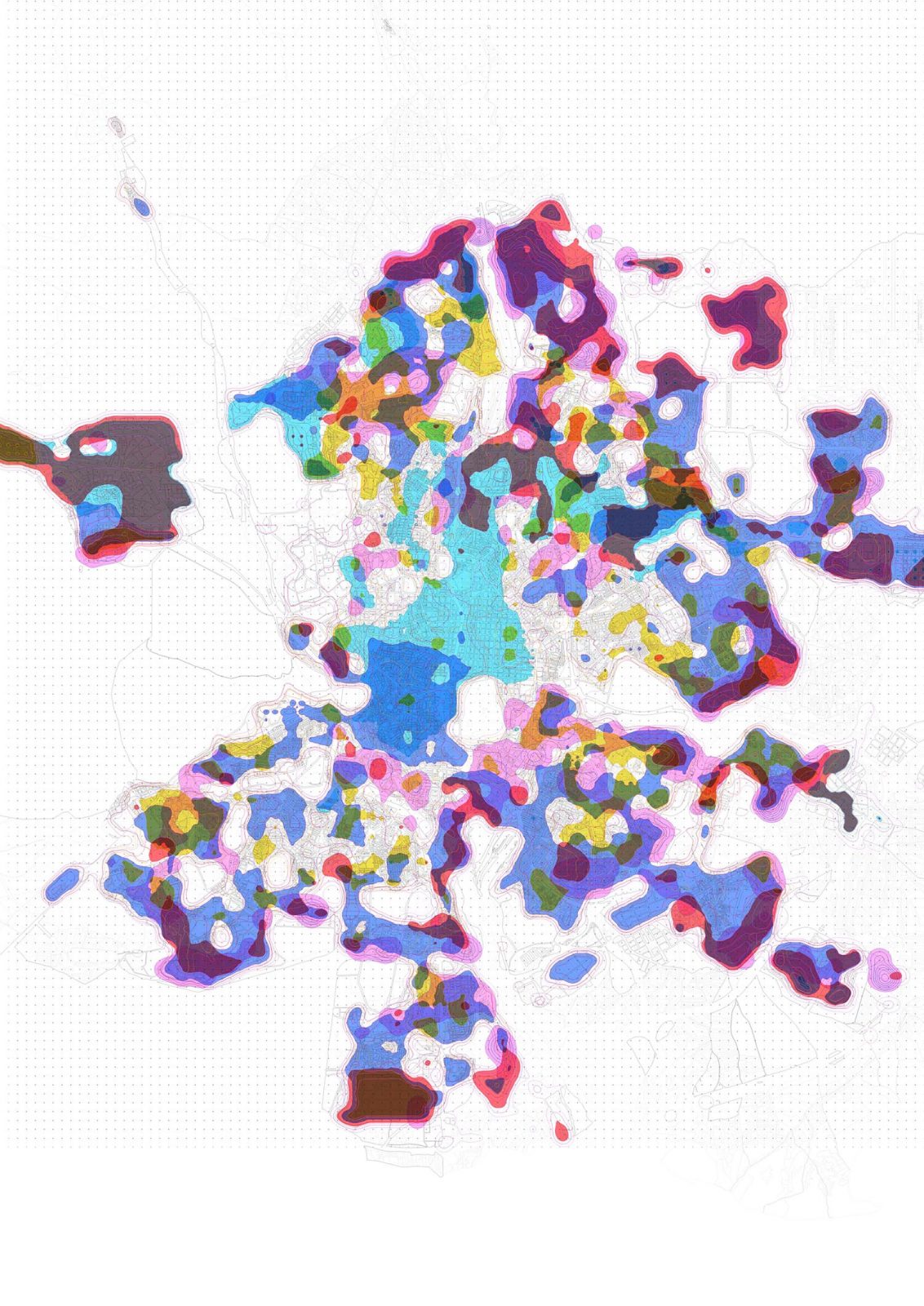
In the context of the exhibition ‘Madrid Diversa’ held at CentroCentro in Madrid, we aimed to describe the Spanish capital city in five cartographies. These cartographies focus on the elements that build the city (practically invariable over time) and how these pieces are combined -emphasizing the ability to describe this mixture thanks to the increasing datification of the world through large sets of structured and unstructured data and their algorithmic representation.
Probably, diversity is what best reflects European cities and, above all, large capitals like Madrid. Contemporary cities centralise a variety of urban fabrics, with buildings of different characteristics, different uses, multiple ages, qualities and densities. This diversity results from complex urbanization processes that are difficult to reproduce, the result of half-applied theories, political tensions, individual ambitions or collective impulses.
The cartographies follow a layered structure to explain the city, separating it into its container (the built city), content (the inhabited city) and functioning (the city of uses and the shared city). The description concludes in a final synthesis that describes them simultaneously and shows the change (the city in transformation) over a variable time (ranging from one day to a decade depending on the concept to be explained).
The description proposed in the series of cartographies ‘Unscrambling Madrid’ is the result of this precise way of making a city: a diverse, resilient city with a high capacity for integration, dealing with the tensions of segregation and expulsion thanks to its ability to transform, mutate and adapt to adverse events. A metropolis characterised by the mixture and the encounters between strangers, the variety of the urban fabrics, the uses and the movements.
Images
Promoters

