Mar Santamaria for Agata Data in Bogotá

Our co-founder Mar Santamaria will be participating at the event ‘El poder de las conexiones’ on 14 February in Bogotá, Colombia (8:30).
The event is organised by Agata Data (Bogotá’s agency which integrates public functions with a self-sustainability model to analyze the data of the city and its inhabitants) to discuss cutting-edge advancements related to the application of data technologies and cities.

Mar Santamaria will participate in a panel together with Manuel Riaño (Agata general manager) and Juan Ricardo Ortega (president of Grupo de Energía de Bogotá).

Link

attachment https://agatadata.com/

Images

Presentation of the First Global Affordable Housing Atlas

The presentation of the first great dynamic atlas of housing will take place next Wednesday, October 26, at the Colegio Oficial de Arquitectos de Madrid (COAM), at 4.30 pm (CEST).

It will be streamed live at https://www.youtube.com/watch?v=z8wQX9XqSOw


The 300.000 km/s agency, who developed this tool, will do a demonstration to show how it works and its potential.

The Affordable Housing Atlas aims to look into the issue of housing access on a global scale. The approach to the issue is supported by data provided by multiple sources, making it possible to describe the planet on a global scale using the criteria of the Affordable Housing Activation (AHA) scientific committee, which has defined different barriers contributing to housing inaccessibility.

It uses data from multiples sources that, until now, were only accessible through different websites. By translating this data in a uniform way in terms of qualities and standards, the tool provides a vast amount of information on a single platform in a coordinated way. Sources include the World Bank, the World Health Organization, the Organization for Economic Co-operation and Development, the United Nations, the International Monetary Fund and Google, among others.

The tool facilitates access to all this data to support a deeper understanding of the issue of housing access on a global scale, allowing users to compare countries and cities, and to inform public policies to help improve access to affordable housing.


The event will host a dialogue between the General Director of Housing and Land, Javier Martín; the president of the Spanish Association of Public Housing and Land Managers (AVS), María Montes; the president of the Association of Promoters and Builders of Spain (ACPCEspaña), Juan Antonio Gómez-Pintado; the president of OnCities2030, Ana Moreno, and the director of the 2030 Observatory of the CSCAE, Ángela Baldellou.

The Spanish Secretary-General of Urban Agenda and Housing, David Lucas, will open the event, and the president of the CSCAE, Marta Vall-llossera, will close it.

Link

attachment https://www.youtube.com/watch?v=z8wQX9XqSOw

Related ideas

Madrid Diversa Exhibition at CentroCentro

Maps by 300.000 km/s are part of the Madrid Diversa exhibition held at CentroCentro in Madrid, and curated by Ariadna Cantis and Javier Peña. This project is exhibited from the 29th of September 2022 to the 29th of January 2023.


The exhibition analyses diversity as a distinctive feature of the city of Madrid in the contemporary context. In the current situation, in which cities tend to become standardised, to replicate commercial models and cultural structures, complexity transcends as a value in itself, as an identifying trait of urban life.


Madrid Diversa explores this quality using three tools to describe the city: an atlas of large-scale maps created by 300.000 km/s, a photographic journey by five artists, and a soundscape by Lucas Bolaño, that overlap one another as fragments of the same reality. The exhibition invites us to immerse ourselves in the Madrid of today, organised into five areas: The Inhabited City, The Built City, The Shared City, The City of Uses and The City in Transformation.


The maps construct an algorithmic storytelling based on massive data with a common thread of the city as a diverse environment. Metrics that do not focus on what the city contains, but rather on how diverse everything we find in it actually is. A city seen through data tends to focus on averages, the frequent and the similar. The perspective taken here aims to look at the strange, the improbable, the casual and the different. Two of the areas analyse the physical and inhabited environment while the other three propose an approach to urban behaviour through uses, public space and the transformation of the city itself. The maps are drawn from publicly available data from different sources: The National Institute of Statistics, the Land Registry, Madrid City Council, topographic base, satellite images and others.

Link

attachment https://www.centrocentro.org/en/exhibition/diverse-madrid

Images

Medio

CentroCentro

Urban Intelligence: How Are Cities Using Data to Improve Decision-making?

The pandemic saw cities and regions make innovative use of evidence, data, modelling, and other forms of knowledge when formulating their responses.

This event will highlight examples of good practice, lessons learned, and other takeaways for urban and regional policymakers.

Questions the event will consider include:

How did city policymakers use intelligence to take decisions during the pandemic?
What worked and why? What was less successful?
Which lessons can cities apply to future crises and everyday decision-making?
Speakers will include:

Maryanne Schretzman, Executive Director, Center for Innovation through Data Intelligence, City of New York
Mike Eakins, Intelligence and Policy Manager, Leeds City Council
Dr. Aurel von Richthofen, Arup Germany, ETH-Singapore Centre
Mar Santamaria, Co-Founder, 300.000 km/s, Barcelona

Link

attachment https://www.eventbrite.co.uk/e/urban-intelligence-how-are-cities-using-data-to-improve-decision-making-tickets-368861784527

Medio

International Public Policy Observatory (IPPO)

Designing Futures with Cities lecture at ETSAB-UPC

Mar Santamaria and Pablo Martínez, founders of 300.000 km/s, will present, at ETSAB Barcelona School of Architecture – UPC, their latest projects and will talk about cities and how to improve them for a better future on Wednesday 27th of April 2022 at 13:30h.
This lecture is part of the MSC Sustainable Urban Mobility Transitions, SUMT (EIT-Urban Mobility).

Link

attachment https://etsab.upc.edu/ca/actualitat-avisos/noticies/actualitat-etsab/designing-futures-with-cities

ZARCH Call for Papers – Form and Behaviour: Modelling Urbanity

ZARCH is currently accepting the submission of articles for their consideration, following the external Peer Review process as described on this website. They should address the topic for the upcoming issue.


Issue 19: “Form and behaviour: modelling urbanity”

Deadline for submission of articles: May 1st, 2022

Expected publication date: December 2022


https://papiro.unizar.es/ojs/index.php/zarch/convocatoria-abierta


Call Text:


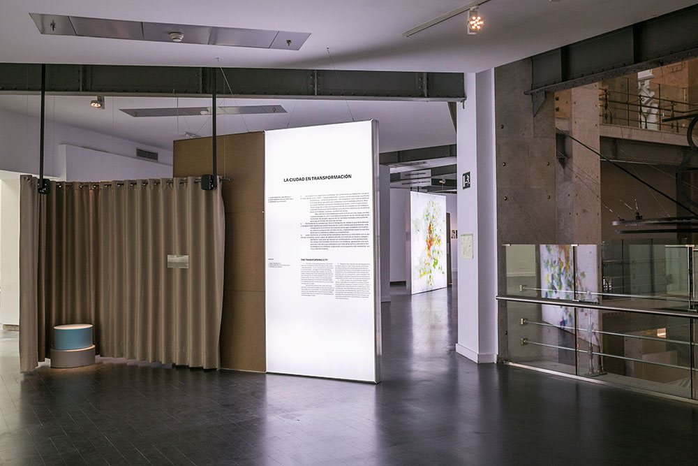
The second volume of Ildefons Cerdà’s Teoría General de la Urbanización —a work that defines urban planning as a science for the first time— includes an extensive set of statistics and property registers of Barcelona that served as a basis for the design of the city extension plan and made it possible to establish relationships between urban conditions and their impact on mortality and to argue and justify the need to expropriate a generous amount of land to make new roads. Years later, under the motto ‘survey before planning,’ Patrick Geddes introduced in Cities in Evolution the need for observation and profound knowledge of the city and the territory prior to any urban planning action. This view accepting urban planning as scientific knowledge was conditioned by the method. Later, in 1970, Manuel de Solà-Morales emphasised in La ciudad y los juegos that ‘urban planning, as a social science, suffers from the difficulties of working with an ambiguously defined body with minimal testing capacity’. The aim of this statement was to establish the need to build abstract city models based on logical and mathematical formulations that would act as laboratories of reality where acting principles would be validated and not just the result of ideological apriorisms. Although this line of work was clearly identified by Solà-Morales, he did not continue it; instead he focused his activity on the knowledge of city morphology.


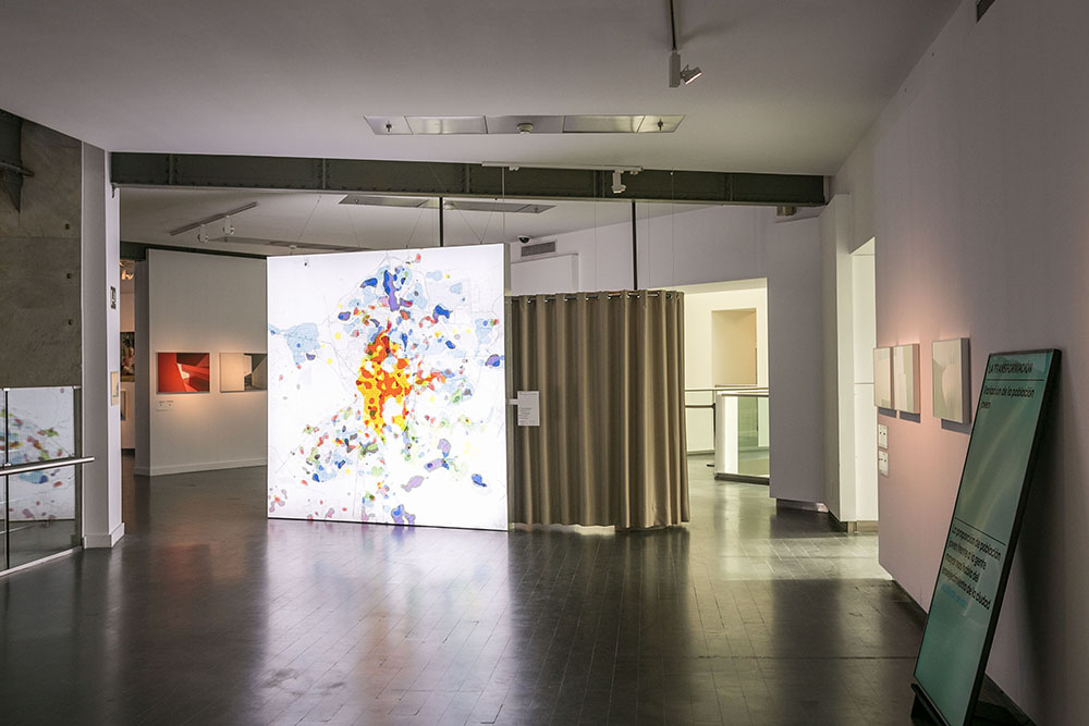
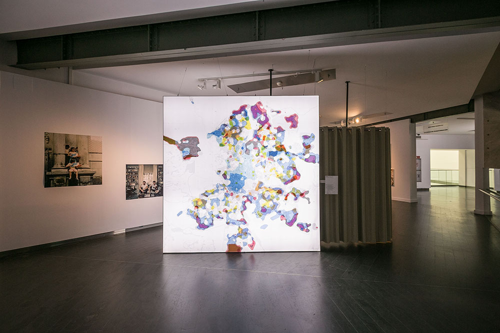
These models —based on visionary concepts— required being data fed, at that time very limited, and processed by statistical methodologies yet to be developed that could only work thanks to today’s information technologies. In the same year, 1970, Tobler published his law on ‘spatial correlation.’ Years later, in the same decade, the first satellite networks for geolocalisation were launched and the first GIS programmes began to be developed. These would later lead to today’s land management tools. Nowadays, 50 years later, we wear GPS sensors in our pockets (mobile phones), we have developed a high computational processing capacity that is also the basis for new statistical methodologies (spatial clustering techniques or predictive statistics), and we have a multitude of high-precision and easily accessible data that allow us to systematically model the planet urban continuum. These include, among others, Open Street Maps, Global Human Settlement Layer, daily satellite images of the entire planet with 30 cm. per pixel resolution or casual data obtained by social networks, real estate portals or others, which are collected through the internet by robots that track them.


Nowadays, several research groups explore the use of these data and methodologies for developing models that serve as laboratories of reality for describing, discovering, predicting or simulating our urban environment. These laboratories offer the possibility of answering questions that urban planning has been trying to answer for years and formulating new ones as a result of the expansion of the discipline that redefines its limits when observing and measuring a reality that is increasingly complex. As Sennett states in Building and Dwelling, we need to understand this complexity not only from the form of the city, but also from the behaviour of its citizens. This is how today’s urban analysis enriches traditional morphological approaches with so many other non-visible variables of the city, characterises infrastructures through their use and not only through their size, provides the city plan with temporal features, explains mobility flows and also economic and knowledge-related flows, and outlines social organisation forms that go beyond administrative delimitations. A new look at the urban environment resulting from the knowledge and infrastructures developed in recent years.


This new look is a valuable description in the current historical context in which we must reorder cities to meet the challenge of climate adaptation. This implies a radical change with consequences also for social justice, health and care, emerging economies or new participatory mechanisms, as reflected in the Sustainable Development Goals (SDGs) and the international and national urban agendas that support them. These transdisciplinary issues will require diagnoses, simulations and evaluations capable of generating complex urban knowledge that, for the first time, can be globally reproduced and replicated.


This issue is an invitation to:

show what these new methodologies can explain to our cities: case studies of the use of data for urban diagnosis at several scales, with documentation of their methodologies;

discuss the different methodological approaches outlining the evolution of the research line in this framework;

study cases that apply this new knowledge to urban development practice: either in planning or in managing urban services;

reflect on how the cities resulting from all these processes can be better than the cities we know today: the challenges, dangers and opportunities guiding their use.

This is not a new paradigm but rather a glimpse of the changes that the discipline of urban planning has fostered for years.


Mar Santamaría-Varas, Pablo Martínez-Díez, Sergio García-Pérez

Ágora PEPRI

Ana Badenas (project manager at 300.000 km/s) will participate in the panel A Smart City that Helps Improving of the Ágora PEPRI, presenting the talk To Observe and Quantify to Know How to Think the City on Thursday 11th of November at 6.30 pm.

The conference is organised by the Estella-Lizarra City Council at the Espacio Cultural Los Llanos in Estella-Lizarra.

Link

attachment http://www.estella-lizarra.com/agora-pepri/

Images

Àgora d’Urbanisme 9 de novembre 2021

The third edition of l’Àgora d’Urbanisme will take place next Tuesday 9th of November, at the COAC headquarters.
This annual event aims to consolidate itself as a reference space for urban planning activity in Catalonia, a meeting between technicians and managers at different levels, building a catalog of outstanding experiences.


The Àgora d’Urbanisme was born in 2018 as a result of an agreement between the Agrupació d’Arquitectes Urbanistes de Catalunya (AAUC), the Col·legi d’Arquitectes de Catalunya (COAC) and the Department of Territory and Sustainability of the Generalitat de Catalunya (DTES).


Attendance is free prior registration:

In-person registration:
 https://www.arquitectes.cat/ca/inscripcions-agora-2021

Online registration:
 https://www.arquitectes.cat/ca/inscripcions-online-agora-2021

Link

attachment http://aauc.arquitectes.cat/2779-2/
Engaged with better cities