Type: publications
Preventive Urbanism
Throughout this long emergency period, urban and territorial pilot projects in different countries have shown how Covid-19 has been an accelerator for those cities that already had structurally questioned livability, urban and environmental quality, quantity and quality of public space, sustainable mobility, accessibility to services and territorial welfare, acting accordingly and experimenting with new strategies, tools and interventions. It is clear now that we need to rethink the concept of what we consider “healthy,” reinterpreting that cyclical relationship between the person, the city and the environment in order to overcome different ideas of health. However, challenges in the field of urban planning and health have changed: from poor ventilation and organic waste disposal capacity as the primary reason for the spread of epidemics, to contemporary issues of air and light pollution, overexposure to noise, sedentary lifestyles, chronic diseases, overweight, stress, extreme socioeconomic inequalities. Many of these issues are directly related to urban and spatial development patterns: the auto-centric mobility paradigm, poor-quality food accessibility, excessive urban density (or extreme fragmentation), energy production and supply systems, new forms of consumption and distribution, tourism, all dynamics exacerbated by climate change, the digital revolution and possible pandemics. Today more than ever, it seems relevant to ask how cities and territories can finally address the health issue in a structural way, shifting from a curative to a preventive approach, from an idea of individual health to a collective health.
Topics
Affordable Housing Atlas
The Affordable Housing Atlas aims to look into the issue of housing access on a global scale. The approach to the issue is supported by data provided by multiple sources, making it possible to describe the planet on a global scale using the criteria of the Affordable Housing Activation (AHA) scientific committee, which has defined different barriers contributing to housing inaccessibility.
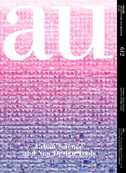
A+U “Urban Science and New Design Tools”
How technology transforms urban planning and governance?
This September issue of A+U is devoted to new technologies in urban science and their applications in settings that range from the aesthetics of urban spaces to participatory democracy and public health. Edited by Yuji Yoshimura, It includes some of the projects developed by 300.000 Km/s such as Mercè, Geographies of the Lockdown, Nocturnal Landscapes, Ciutat Vella Land-Use Plan and Air/Aria/Aire -that explore how these technologies will change the ways in which architects shape urban spaces.
These and other projects from Barcelona, which has been at the forefront of using these new tools at the municipal level, are presented alongside recent efforts in the United States and Japan, covering not only “the physical aspects of cities”, but also “the systems and public-private platforms that have made them possible, and how cities can consider the issue of privacy.” We discover how information can be gathered, visualized, and used as a communication and design tool to plan a livable city, often with the government and citizens in partnership.
Related links
https://au-magazine.com/shop/architecture-and-urbanism/au-202109/Related projects
Nocturnal Landscapes
Exploring global metropolis at night
The research carried out in the project Nocturnal Landscapes: Urban Flows of Global Metropolises, curated by Iker Gil and organized by MAS Context, has materialized in a publication that collects the contents of the project’s exhibition in Chicago as well as new ones.
Nocturnal Landscapes: Urban Flows of Global Metropolises is a project that observes and analyzes cities at night from an interdisciplinary perspective. We have used data about urban life to compare the rhythms and regions of global cities through cartographic representations. The maps and graphics generated are complemented by the photographs of David Schalliol, photographer and sociologist, questioning the correlation of human activity and light, and revealing hidden aspects of our cities.
Images
Related projects
Topics
Quaderns Biennale, 2021: Air/Aria/Aire
Making air pollution visible
A special edition of the COAC magazine Quaderns d’Arquitectura i Urbanisme, dedicated to the project “Catalonia in Venice – Air / Aria / Aire” has recently been published.
The monograph, directed by the architect Olga Subirós, collects the research carried out for the project as well as articles written especially for the magazine.
Related links
http://air.300000.eu/Images
Related projects
Topics
Metròpolis Barcelona
This catalog consists of three volumes that collect and expand on the contents of the Metròpolis Barcelona exhibition that analyzes the situation of metropolitan Barcelona, with the aim of mainly understanding how it has been formed and transformed in the last forty years. The first volume "Metropolitan urbanism today" collects the contents of the exhibition and provides the contribution of some twenty international experts. The second volume "Metropolitan Transformations" includes the itinerary of the recent transformation of metropolitan Barcelona and points to the opportunities that may open up with the new PDU. The catalog also includes a 150-page Atlas that brings together a total of 70 cartographies and graphics.
Mercè
A citizen science experiment: citizens training algorithms to do more livable urban environments
The report compiles the results of the Mercè project, a citizen science experiment carried out from May to November 2020 in which citizens have trained an artificial intelligence algorithm to be able to predict the habitability of the city of Barcelona. The report collects the main results of the experiment and determines which are the most and least livable streets in the city based on variables that have been individualized thanks to the vote of the citizens.
Related links
http://merce.300000.eu/data2/informe_merce.pdfRelated projects
Planificación urbana integral, aprendiendo de Europa
Integrated urban planning, learning from Europe
Our contribution to the book ‘Integrated urban planning: learning from Europe’ promoted by Diputació de Barcelona and edited by Paisaje Transversal is a compendium of best practices under the title ‘We cannot work with what we cannot measure”.
The article aims at helping institutions to implement integrated urban planning in line with Europe and the major global agendas using a series of own experiences (Energy map of Rubí, Open Papers and Arturo) to present the toolkit available to public administrations today interested in incorporating the new ecosystem of public data and big data into their urban policy and planning.
Related links
https://gaue.diba.cat/wp-content/uploads/2020/01/62439.pdfHacia una ciudadanía productora de datos
Toward Citizen Producers of Data
This article focuses on the existence of a possible data divide in the context of growing digitalization. The Open Papers project helps shine a light on social inequality derived from an inaccurate datafication of the environment. What urban problems are left out of decision-making processes due to a lack of information? How can citizens generate data without using complex technologies through processes of collective capture?